Bank Erosion Hazard Index

Welcome!
To the Bank Erosion Hazard Index reporting page for Cleveland Metroparks.
In 2013 Cleveland Metroparks began a Bank Erosion Hazard Index or BEHI study of streams throughout the reservations. Here you may find information about BEHI methods, documentation and our findings.
*NEW*
Click Here to view the new Cleveland Metroparks BEHI video.
BEHI Study
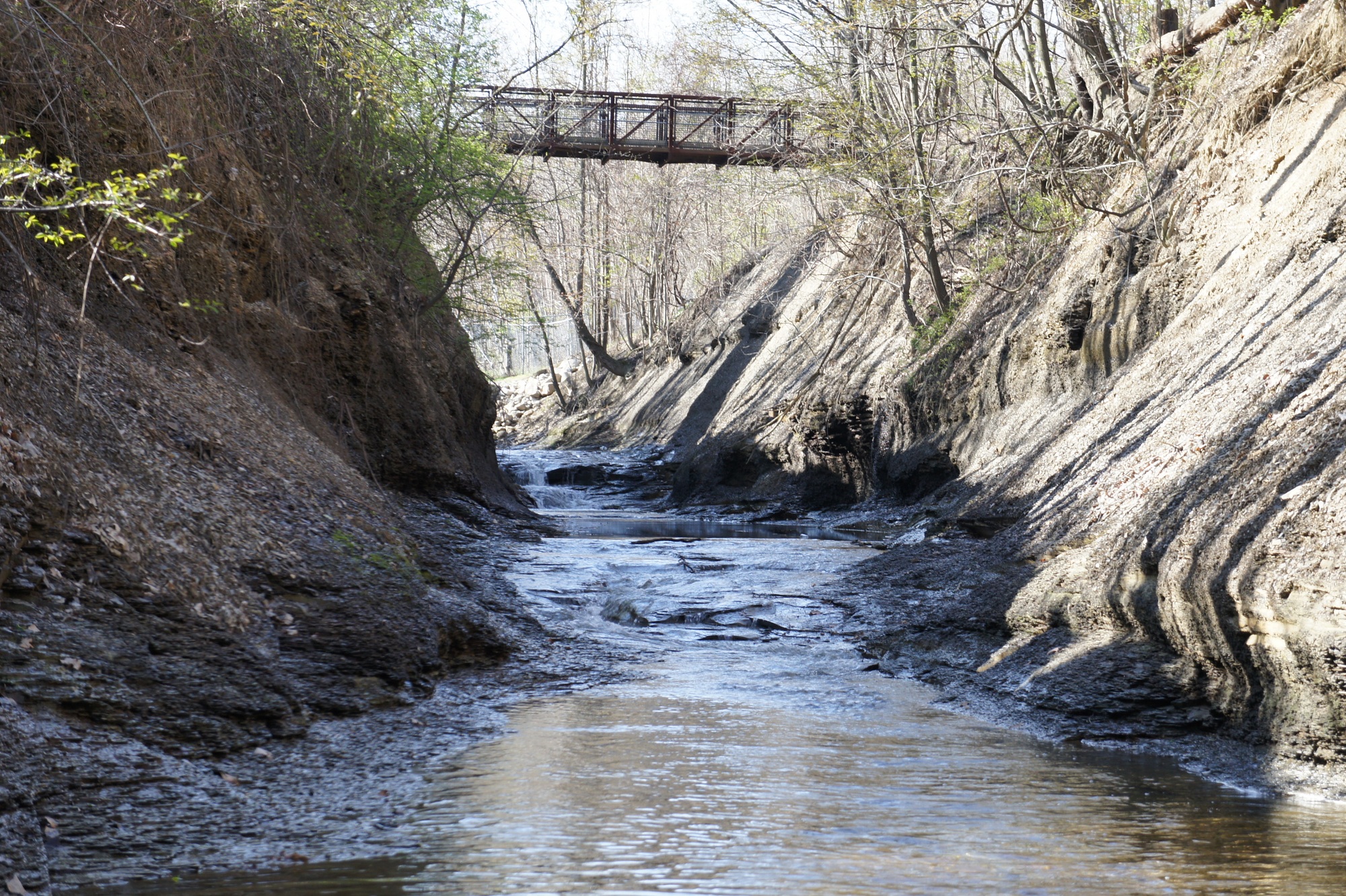
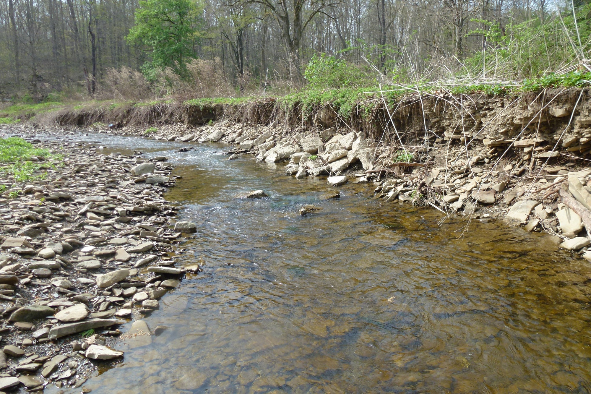
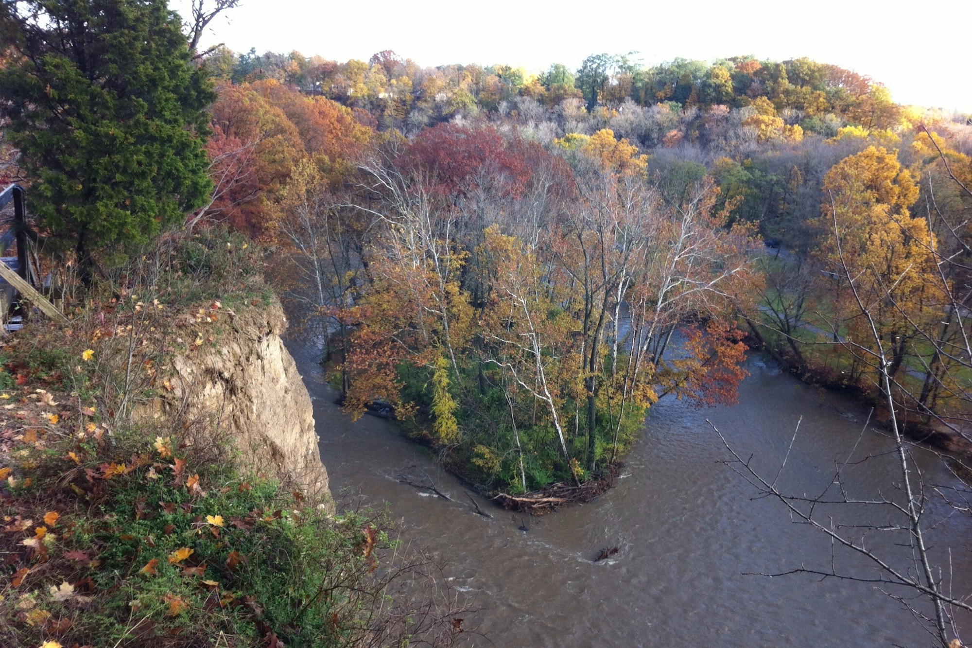
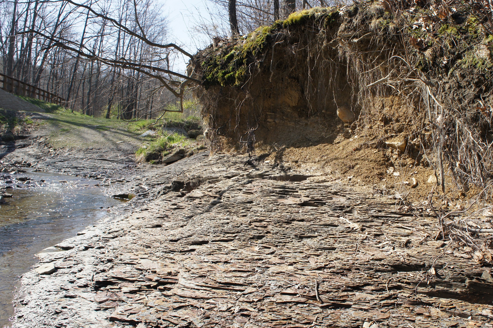
Stream bank erosion is a problem all of our rivers and headwaters face in the Cleveland area. Increasing stormwater flow causes floods, and loss of riparian corridors in an urban setting leave banks vulnerable to high, fast moving water. The resulting erosion widens streams unnaturally and poses a threat to nearby structures like roads and trails. Erosion also causes sedimentation of waterways, which poses significant risk to fish, amphibian, and macroinvertebrate populations.
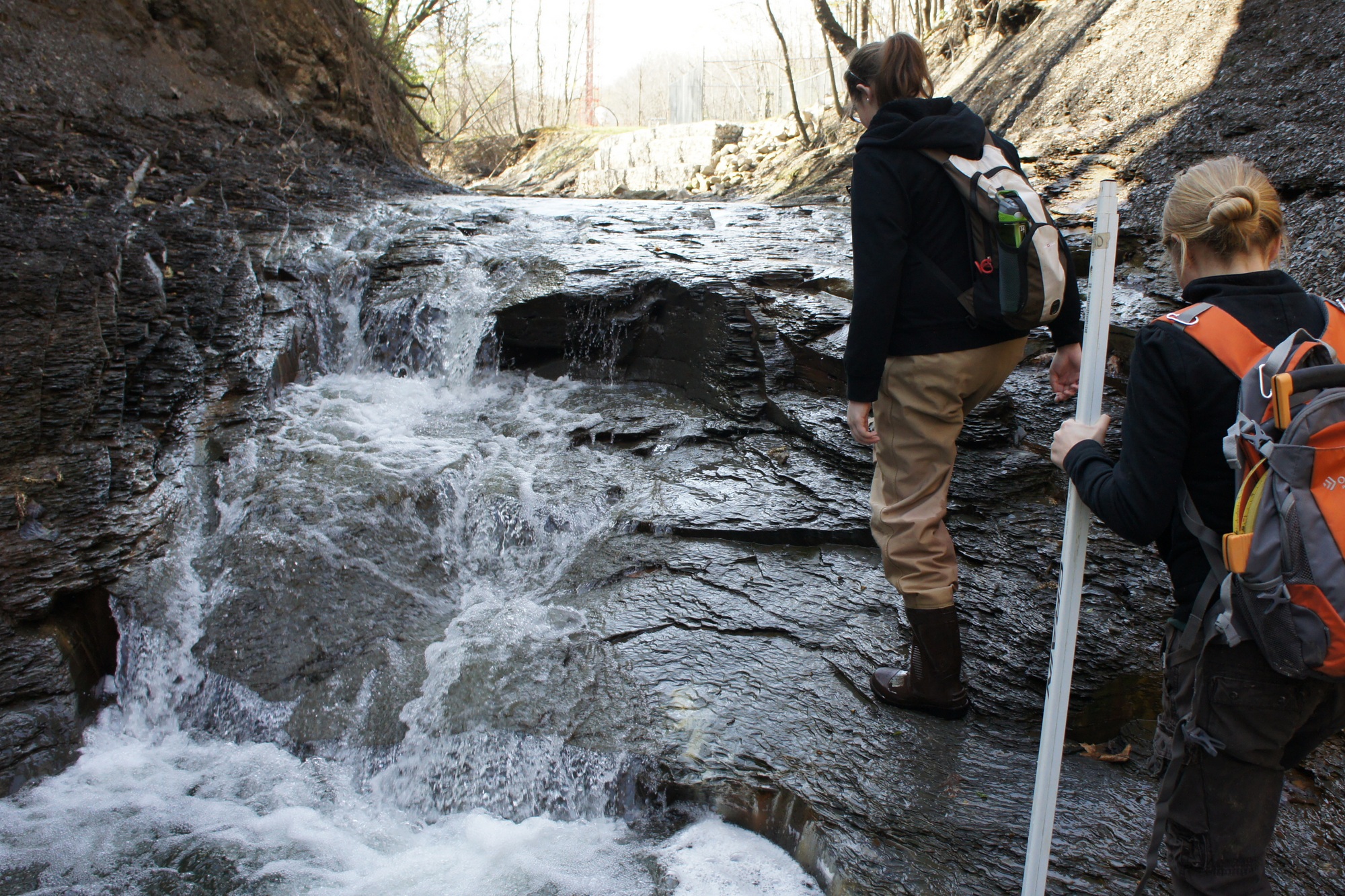
A method to assess the health of our streams is by using the "Bank Erosion Hazard Index" or BEHI. The BEHI assessment is made up of several metrics that take into account major physical attributes of stream banks. These metrics include:
- Plant root depth: depth relative to bank height
- Root Density: percentage of bank surface covered by roots
- Bank angle
- Surface protection: percentage of bank covered by rocks, logs, etc.
- Bank composition: type of material making up the bank (sand, silt, gravel, etc.)
- Bank stratification: number of distinctive layers of sediment
Each Metric is given a score based on the measured value. Next, each individual metric's score is added together to give an overall score for that bank and then that bank is placed inside a rank category.
Our Results
Using open source GIS and mapping tools, we have mapped the data that has been collected from 2013 through 2014.
Documents
| Document | File Type | Size | ||
|---|---|---|---|---|
| BEHI protocol | 883KB | |||
| Rules For Determining BEHI Evaluation | 19KB | |||
| Field Data Sheets and Score Chart | Excel | 30KB |
Contacts
Jennifer Grieser
Senior Natural Resource Manager - Urban Watersheds
jmg2@clevelandmetroparks.com
Laurel Cope
Seasonal Hydrologist
lmc@clevelandmetroparks.com
Brandon Garman
Planning Technician/GIS
bdg1@clevelandmetroparks.com
Other Natural Resource Projects
Emerald Ash Borer Report
Reporting Website for Emerald Ash Borer and Ash Mapping study
Invasive Plant Atlas
Website outlining the current understanding of invasive plant species throughout Cleveland Metroparks